

Last Hoorah
The Last Hoorah to The Last Frontier
In 1970, when college was over, I asked Mom to make some sandwiches to fill a styrofoam cooler. I put the cooler, along with a sleeping bag, a large piece of plastic and some clothes into a 1966 Mustang and headed north. There were no cell phones or GPS devices, so my parents didn't hear from me for 5 days until I arrived at my uncle's home in Anchorage Alaska. I worked housing construction for the summer and drove back home.
In 1971, after my junior year of college I did it again. Only this time I took my new bride, 2 sleeping bags and a tent. We left immediately after the reception so we didn't get far the first day. The second night we were in Canada at some campsite that had an annoying raccoon--we had left some food out on the picnic table. I don't remember as much about the campsites after that, except one--on the shore of a large lake were the 2-foot-thick ice broke up during the night when the wind came up. Very noisy! We worked 10 hour days, 6 days a week for the summer and drove back to college.
Much later when we had our own airplane we made the trip to our daughter in Fairbanks 3 times following the Alaska highway. Fast forward to 2021, our 50th anniversary. We wanted to make the same trip by car again but, alas, the border was closed due to COVID. Life got busy and now it's 2024. Age is having its effects on us, thus, the time has come to make one last attempt at the drive.
Although the old Mustang is capable we'll be taking a more modern car for much better gas mileage and air conditioning. We'll take sleeping bags and a tent again but don't know how much we'll use them. Wish us well!
Day 1
Highway 281 to I-90. The Lewis and Clark Visitors Center at the Chamberlain rest area had always been closed whenever we stopped there so we made it a point to stop now during regular hours and in tourist season. It was open! It proved very interesting and informative. We spent an hour and a half at the exhibit. Recommend seeing it at least once.
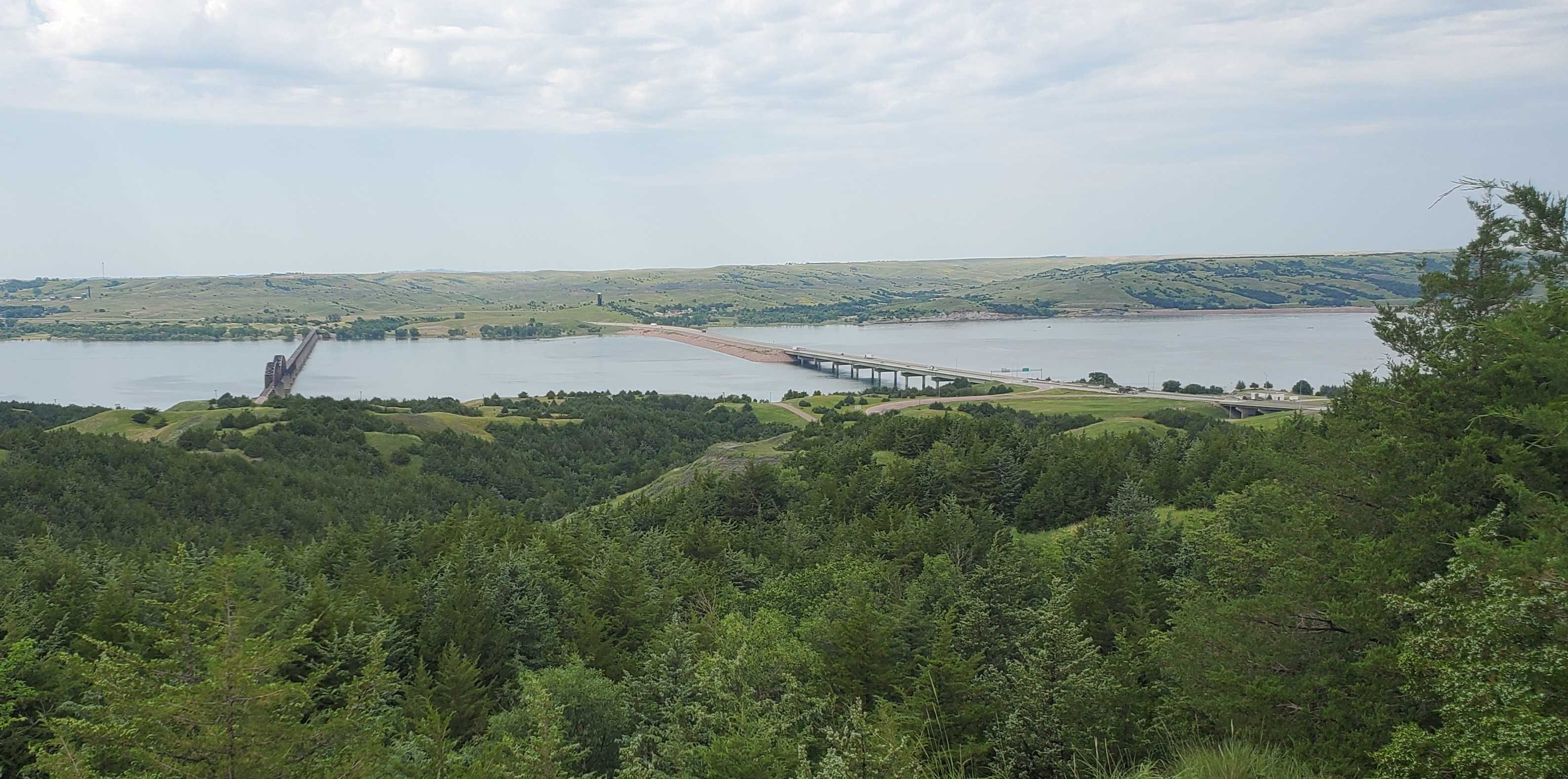
Then on to Rapid City pretty much non-stop. Lots of traffic in tourist season. Occaionally we'd even see a South Dakota license plate!
Day 2
Church in the morning. Lunch and games with grandkids. Visited my senior year high school English teacher for 2 and a half hours! It was very intersting and the time flew by! A light lunch/supper and a walk with the grandkids and daughter-in-law to the West Campus Game, Fish and Parks place near their home.
I-90 > 212 > I-90 to Billings.
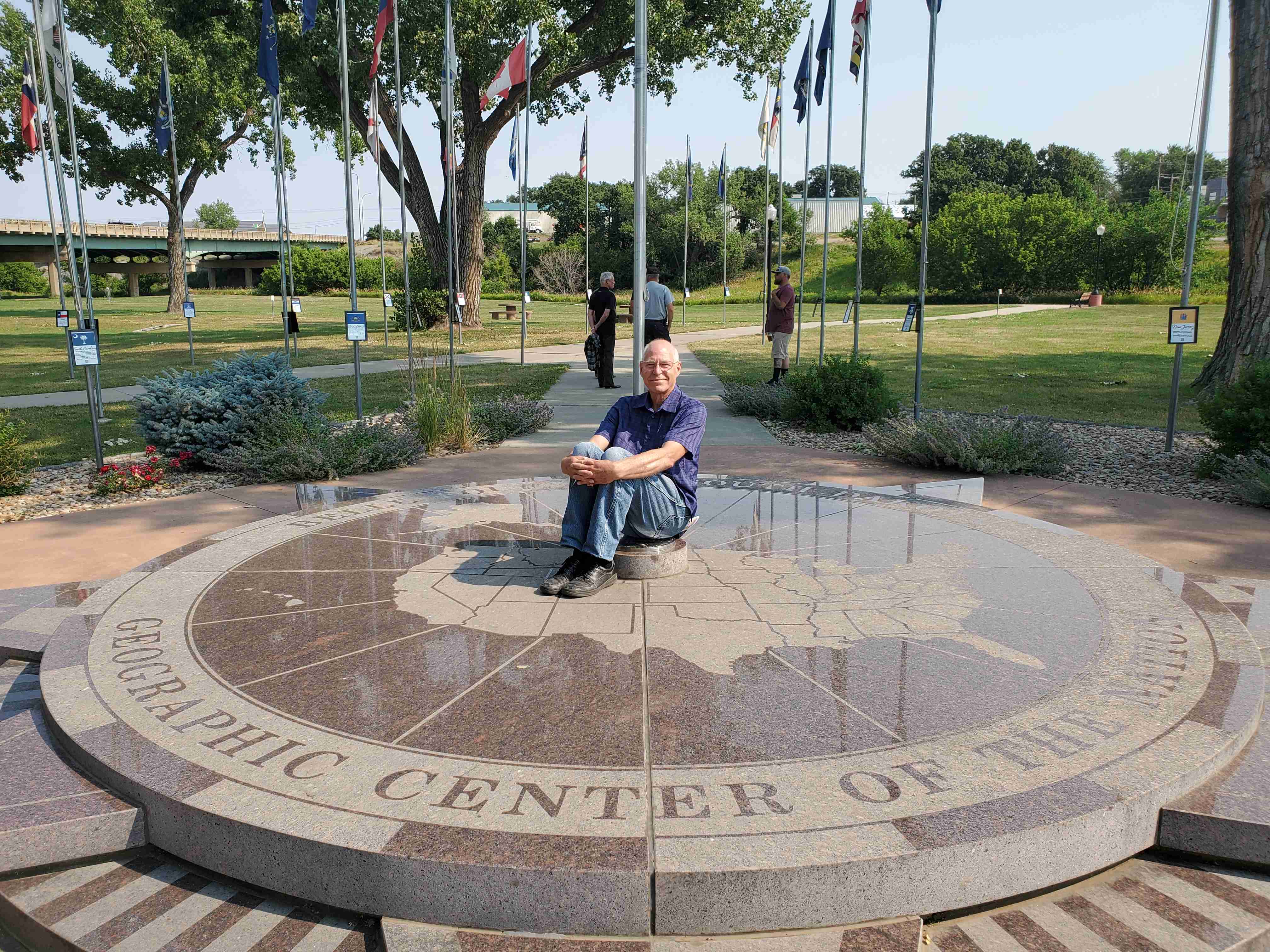
In Belle Fourche, SD there is a park with a marker for the geographical center of the 50 states. We have driven past it several times but never stopped. Little did we know that in the visitors center there, there is a wonderful museum. So there went almost 2 hours! We found it very interesting. Had a late lunch in the city park of Broadus, MT, then on toward Billings.
At Billings we had also often seen signs for the Pictographs Cave, and so we drove a few miles south and checked it out. It was over-hyped. Not much for drawings were even visible. There was a nice trail and we walked it and that was good for us, even with the temperature around 90. At a relatives home we were served a delicious dinner and then had a joy-ride in his 1972 red convertible. He stopped at his son's home. They gave us a tour of their new-to-them house and we got reacquainted with his family. Then back for fudge-sickles and a late-into-the night chat.
Day 4
Billings > Helena
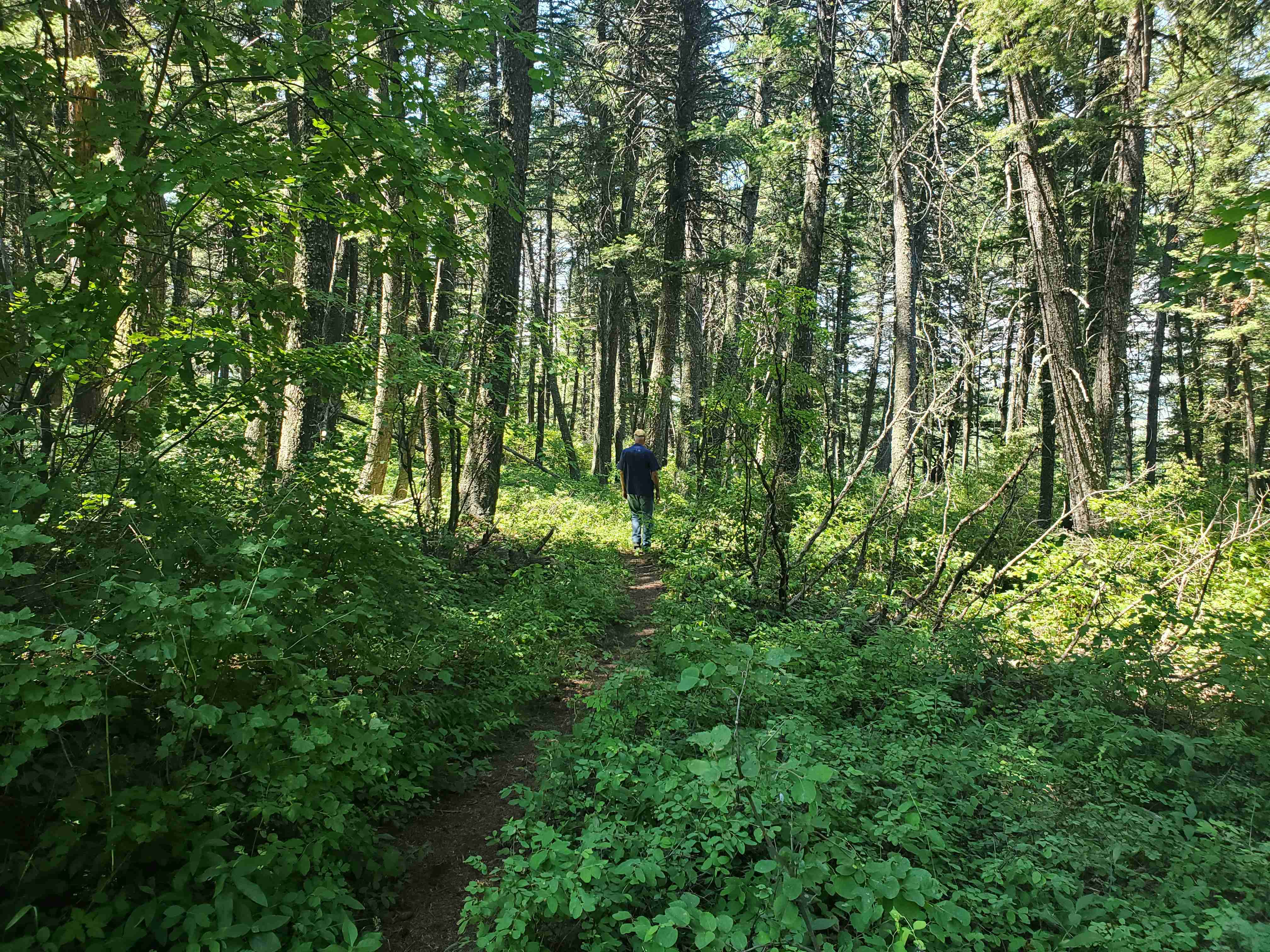
Diverted south a few miles in Bozeman on the way to see where the parents-in-law used to live. Revived a lot of old memories. Then another mile or two to Kirk all and did a hike in memory of Father-in-law who enjoyed hiking there often and sometimes with us or grandchildren when they were in Bozeman.
Drove a side street in Townsend which we would usually drive right by and found a little museum, which we found not to so little after all! It was well organized, cared for and huge inside. Well worth the stop.
Dinner was served by close relatives and visited into the late evening, which included walking a few blocks to look at their rented garden space.
This is the last of the relative visits until we reach the destination.
Day 5
Glacier National Park
In the morning we drove to the park. It is a very crowded park. Visitors' Center parking lot was full so we had to circle it until someone left. So we gave up on driving into the park and took one of the free shuttles to get to a trailhead we had picked out. I led to two waterfalls at the head of St. Mary Lake. We hiked 3 or 4 miles total and then back on the shuttle to Logan Pass for a scenic drive. Then back down to the visitors' center. What an awesome, grand park--likely the most grand in the US. I won't post the scenic pictures... You can find them on the internet.
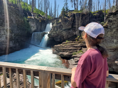
Got to our campground in time to cook supper and take some more walks.
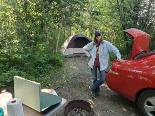
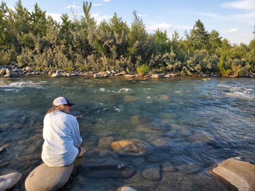
Cooling her feet at the campsite
Tomorrow into Canada so this may be the last post for a while. I'll have to go up a hill in order to post this...
Day 6
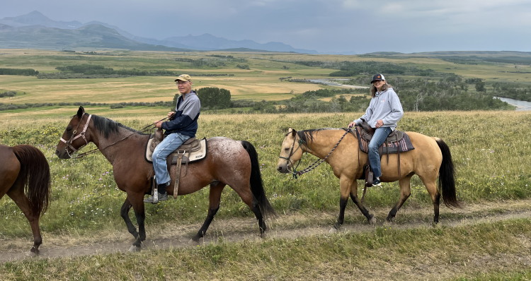
Crossed the border into Canada. Spent the morning on a trail ride. Waterton River Trail Rides.
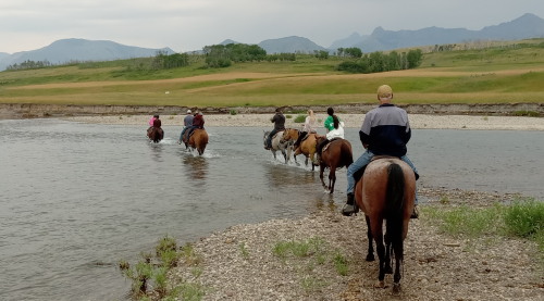
Crossed river more than once. Had to lift our legs to prevent wet feet.
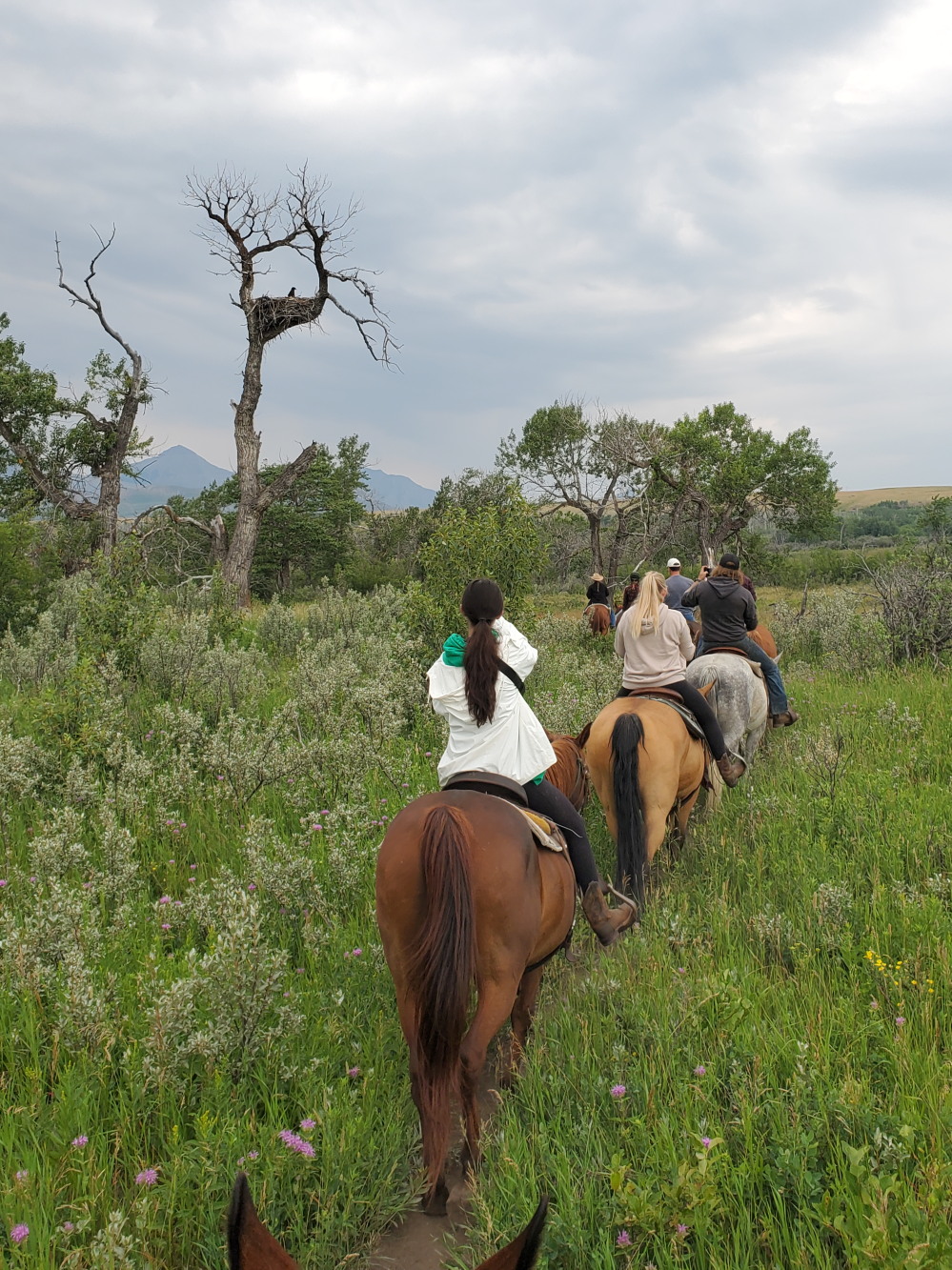
We rode under a perched bald eagle and then under her nest with a fledgling perched
on the edge.
Lunch at a roadside park in Waterton Nat. Park. very steep hike of over a mile one way (Bear Hump Trail).
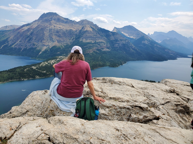
Hiked up from the water level.
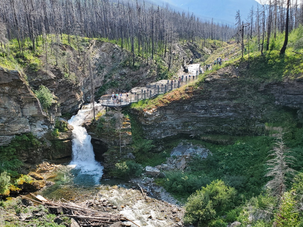
A drive on a side road into a different part of the park with another mile hike to a waterfall.
Saw a Grizzly bear fron about 100 yards away(we were in the car). Then out of the park and north to a campground. Very tired out!
Day 7
Drove to Banff Nat. Park and then on the Ice Parkway though the Park and then though Jasper Nat. Park to Hinton.
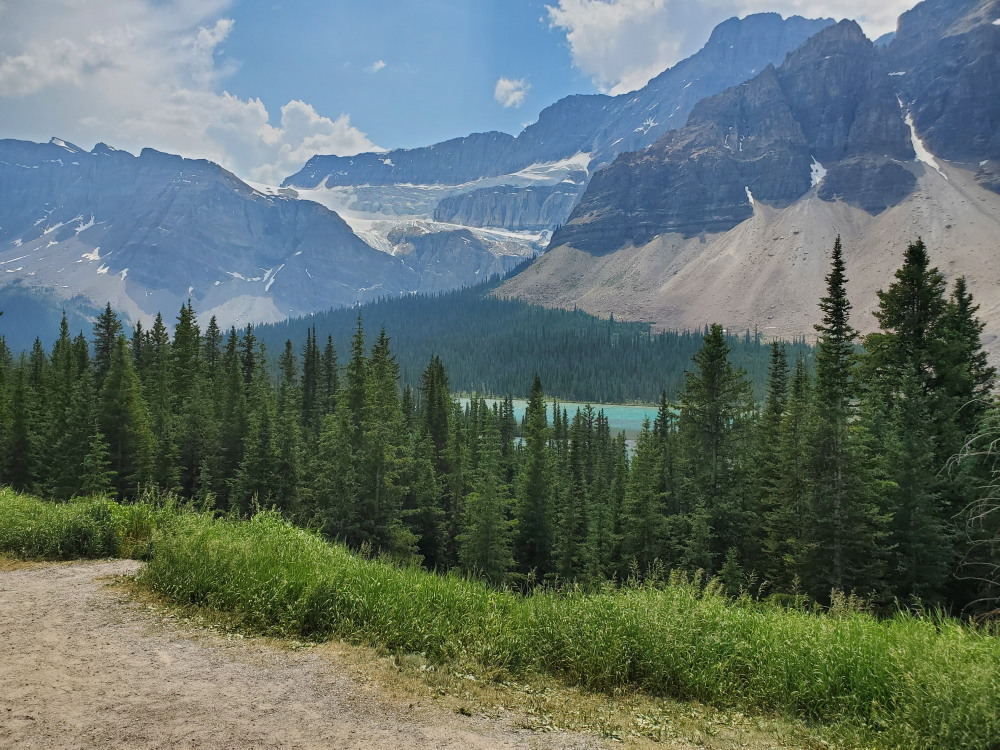
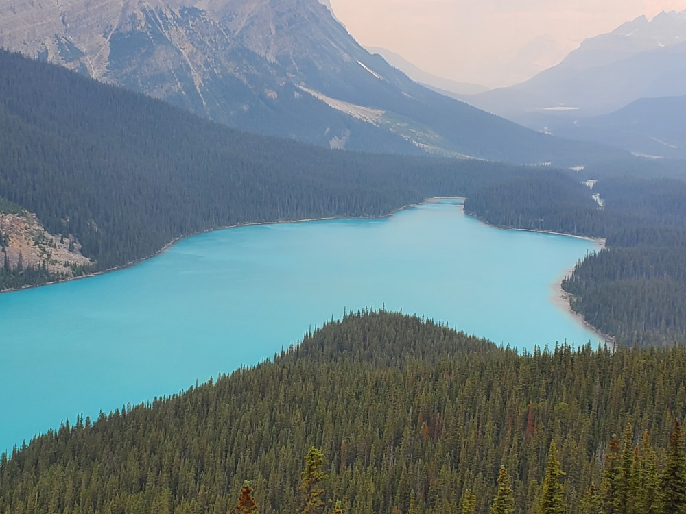
Some smoke beginning to show
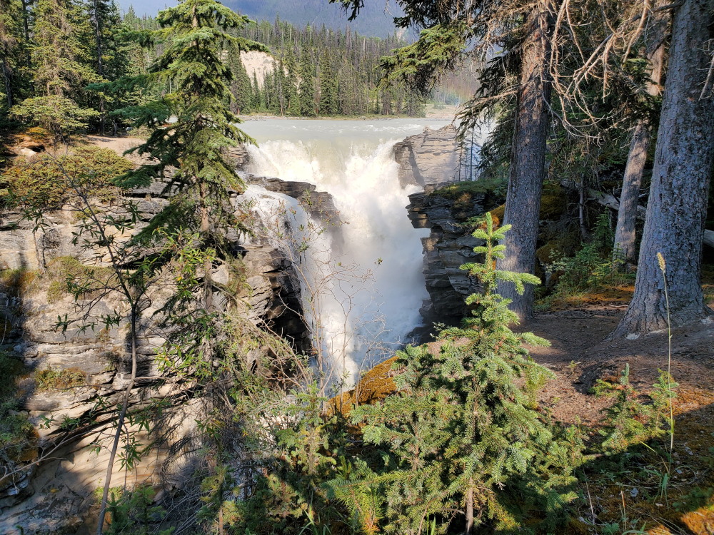
We made a lot of stops for short hikes and waterfall views.
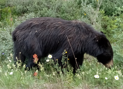
Saw another bear (this time a black bear, smaller one) right on the shoulder of the road.
Banff was a little bit more scenic than Jasper but both were really grand. Jasper had more ice and glaciers. Overrun with people again and hard to find parking but we always did.
Motel in Hinton for the night. Wiped out again.
Day 8
After a visit to local Walmart, on the road again. Drove through Grand Prairie. Mile zero of Alaska Highway at Dawson Creek which had a nice visitor center.
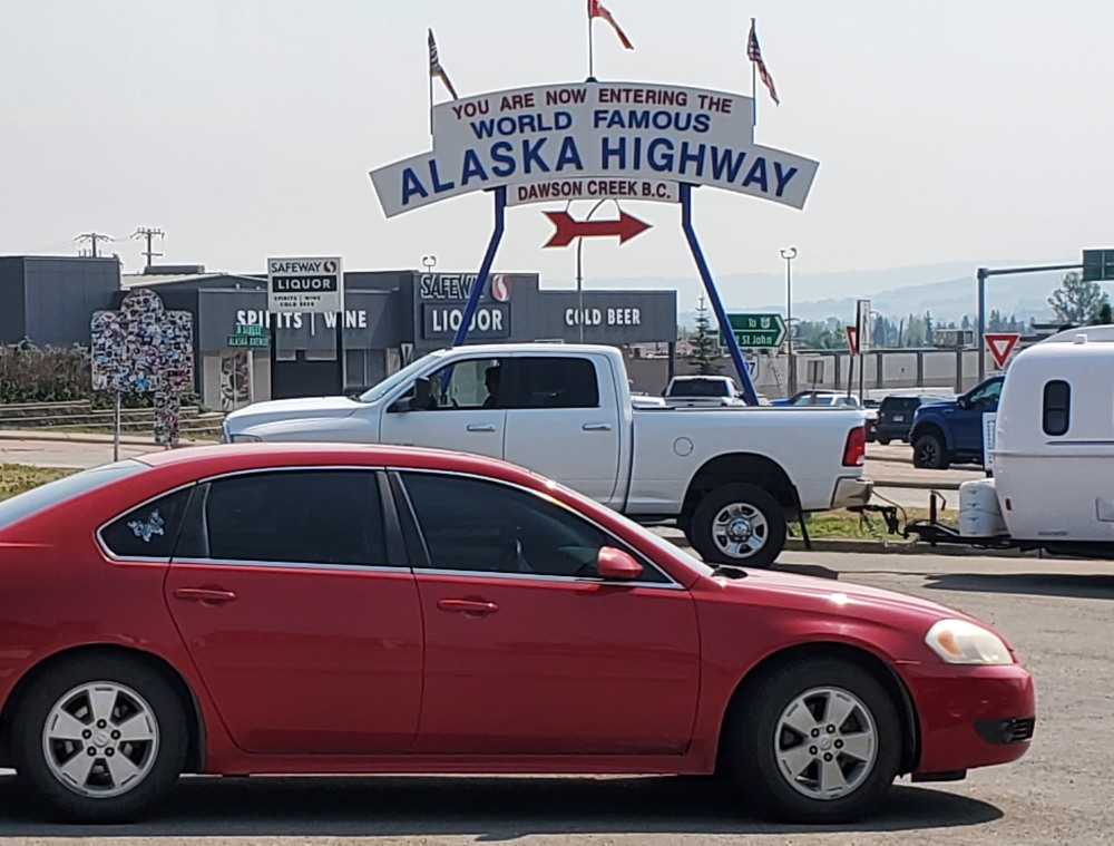
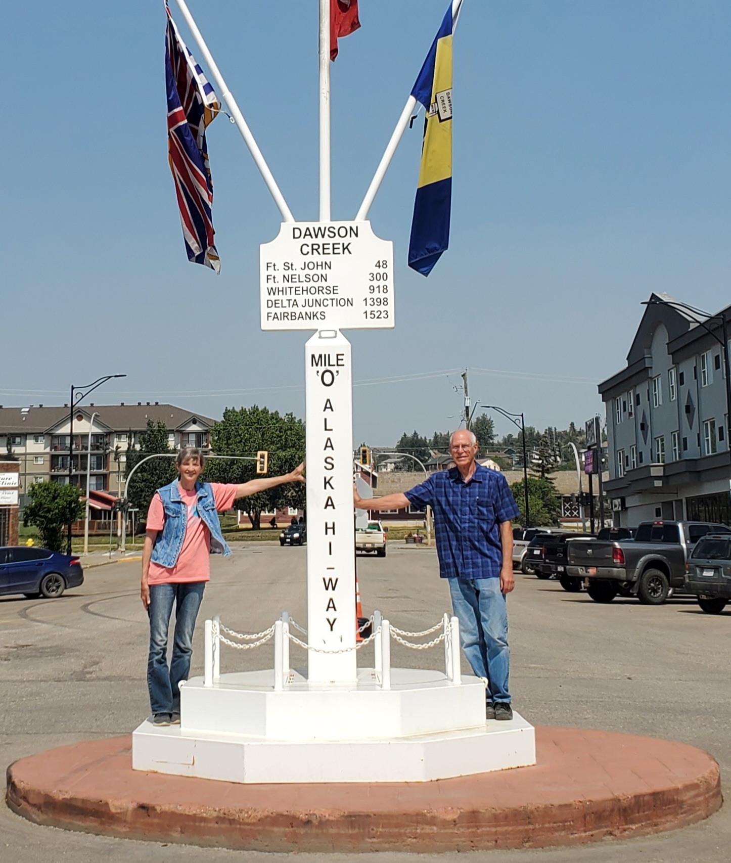
Stopped driving about 5:30 and stayed at a campground at Sikanni River. It had WiFi if you were close to the office and pay showers. Had a tent site right on the river.
Day 9
Increasing smoke haze at first and then very dense smoke. Limited visibility to 1/4 to 1/2 mile and made for uncomfortable breathing. By running the AC the moisture on the evaporator filtered the smoke somewhat, but later made for a bad smell whenever we ran the fan.
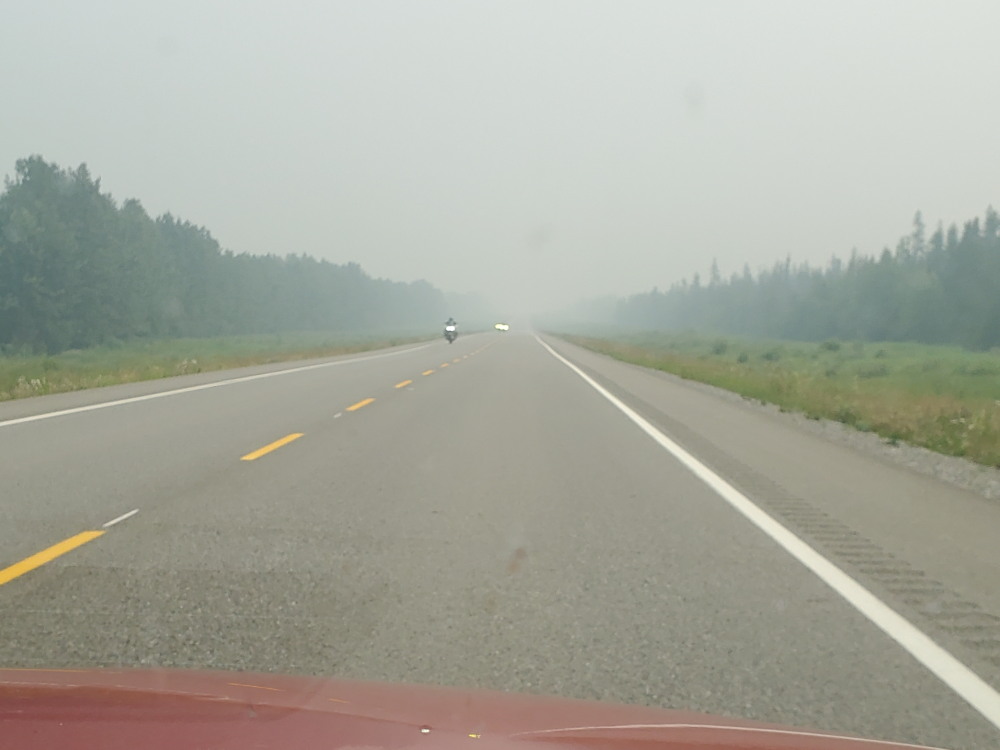
Couldn't see any scenery other than the trees by the side of the road, but a lot
of the highway is that way even when clear.
There was a nice visitor center at the west end of Fort Nelson.
Took a short, steep hike/climb at Summit Lake and started to remove a plug of grass and sticks from under a walk bridge.
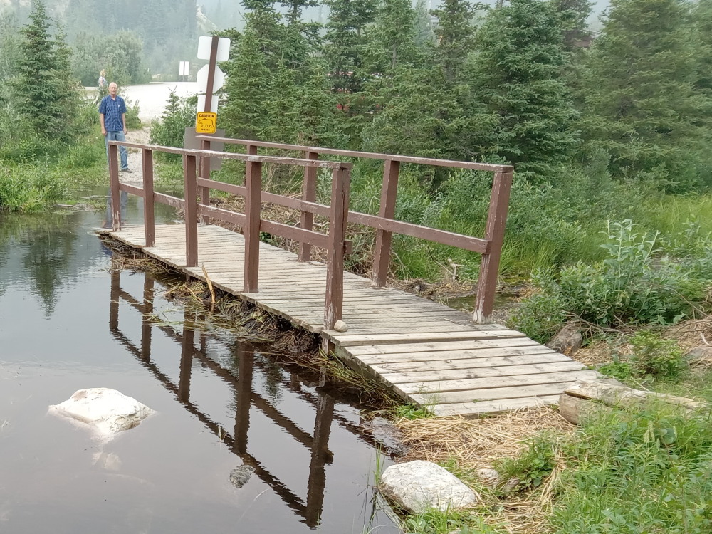
Nice park ranger showed up and said we really shouldn't be messing with the beavers work. But he also thanked us since it was raising the level of the lake which bothered the campground. Had a nice chat with him.
Set up camp at Muncho Lake. Saw a moose with her calf in a pond by the road on the way there.
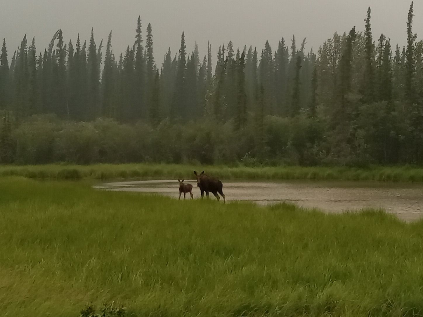
We could barely see the other side of the lake due to the smoke. The same ranger showed up and we chatted again. He asked if we had bear spray (we didn't). He said a grizzly ripped the door off an employees camper and had his head coming through the screen before she drew her spray and shot him right in the mouth/face. He stopped to recover and then left.
We hiked a while but didn't make it up to where we would have had a view (through the smoke).
There was a strong thunderstorm with wind, heavy rain and small hail during the night but the tent did an excellent job of keeping us dry. The view was much better in the morning....
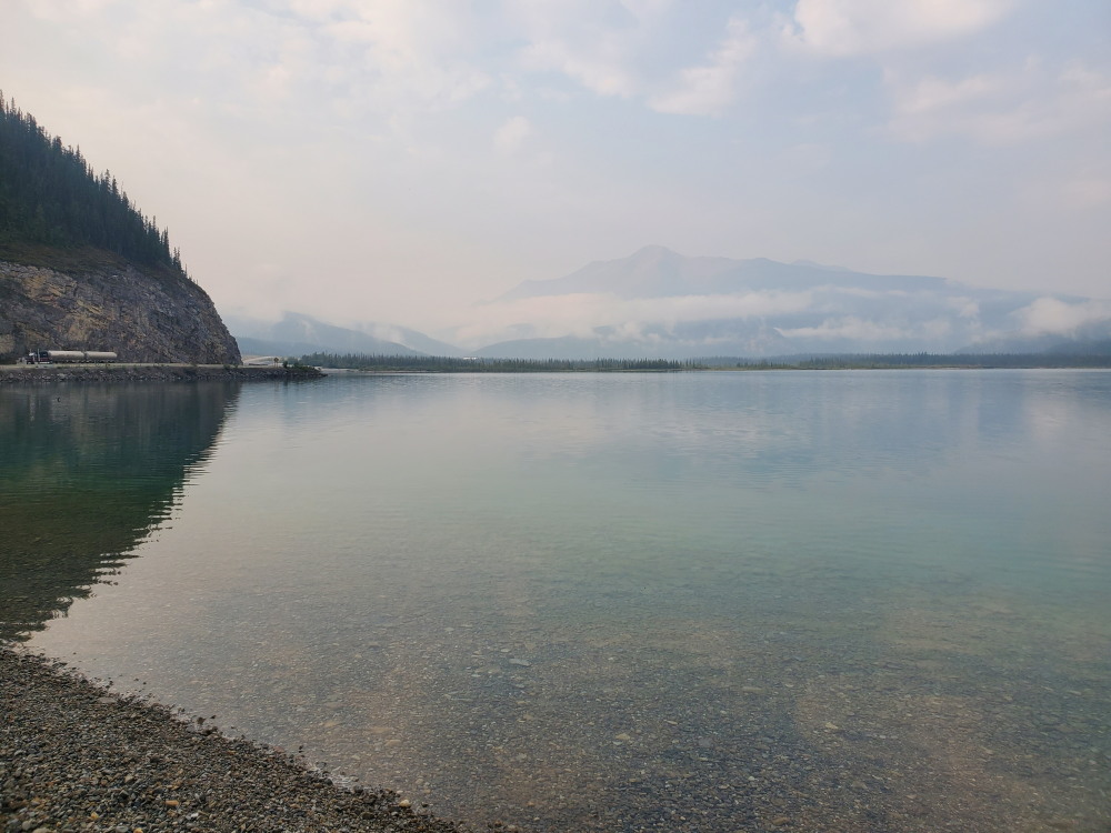
Still some smoke but much better!
Day 10
The rain during the night cleared the smoke some and we could see the other side of the lake now. It was still cloudy.
Stopped and Liard Hot Springs and soaked in the very hot water. You could adjust the temperature somewhat by how close you got to the source.
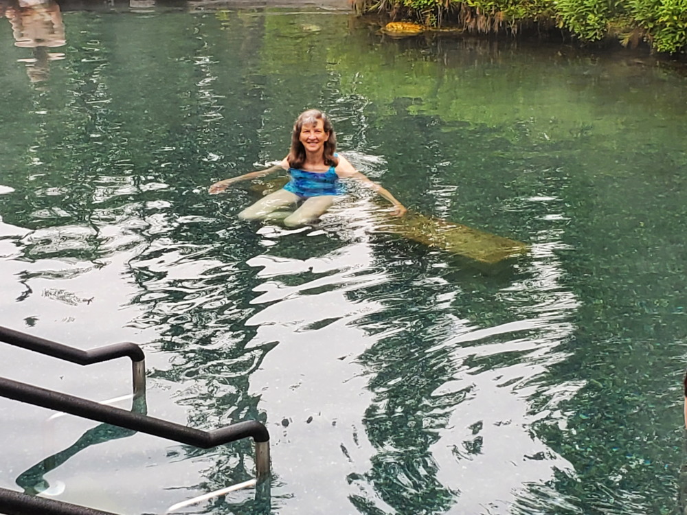
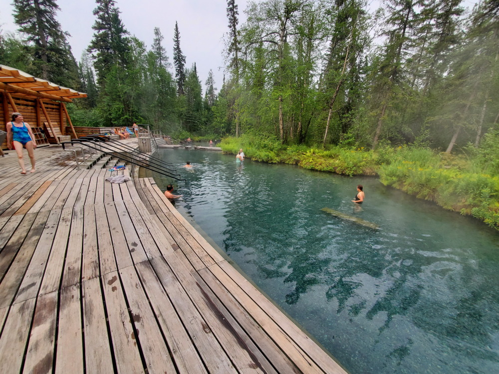
We hiked a little on the walkways there and had lunch before leaving.
Had to stop for a herd of bison on the road but they moved off soon.
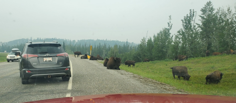
A little farther a bear was walking in a grassy area between the trees.
Visited signpost forest at Watson Lake and there was another nice visitors center. Fuel was 1.90/liter(CAD, about 5.50/gal converted to US).
Stayed at a commercial campground in Teslin... hot showers and flush toilets. It was only $5 more than the government campgrounds. Weather was great other than the smoke but it started raining during the night and was still at it in the morning. We stayed nice and dry again.
Day 11
Drove to Whitehorse and for nostalgia sake we walked to where we had camped at the airport when flying but the campsite had been bulldozed and graveled. Then we drove into town and walked along the Yukon River like we had done when we were weathered in at the airport.
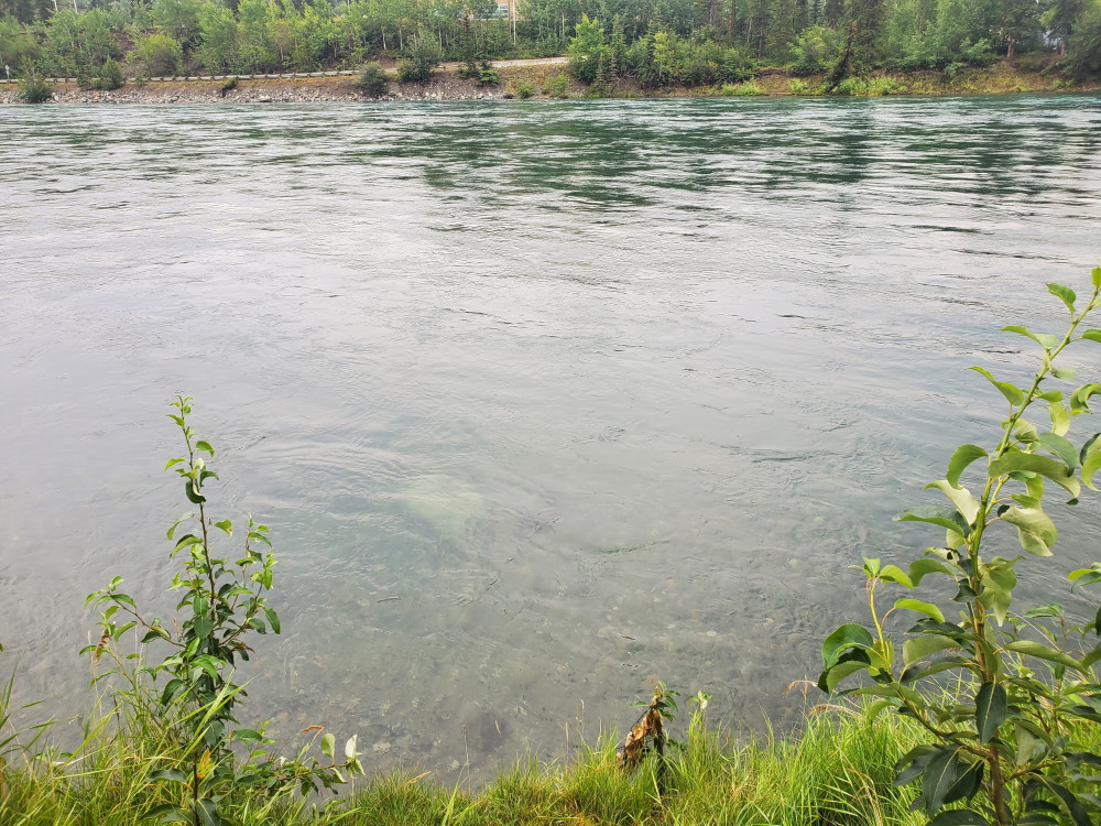
It is a wide, deep, clear and fast moving river.
The sun was shining and there was less smoke again. We drove on the Kluane Lake and set up camp the same place we had in 1971 but now there was bear electric fence around the tent area. And it was functional--don't ask me how I know!
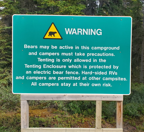
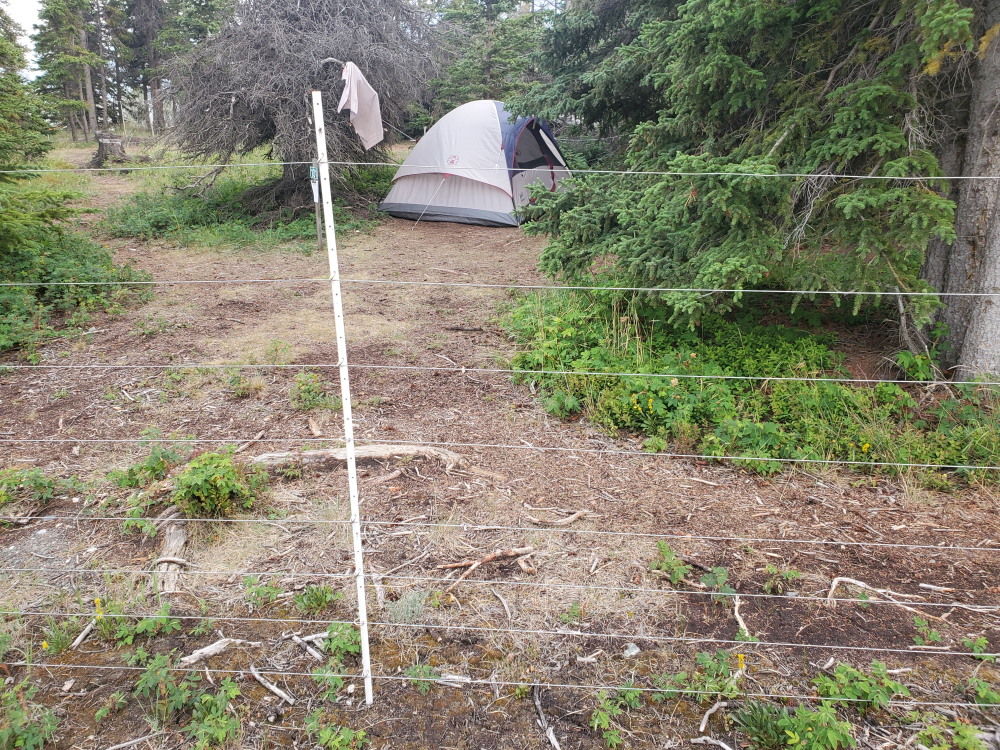
When camp was set up we backtracked down the highway about 13 miles and took a gravel road toward where we had seen a glacier when we flew the highway. From where the road was closed we hiked on and took the Sheep Creek Trail up. We didn't go to the top but far enough to have fantastic view.
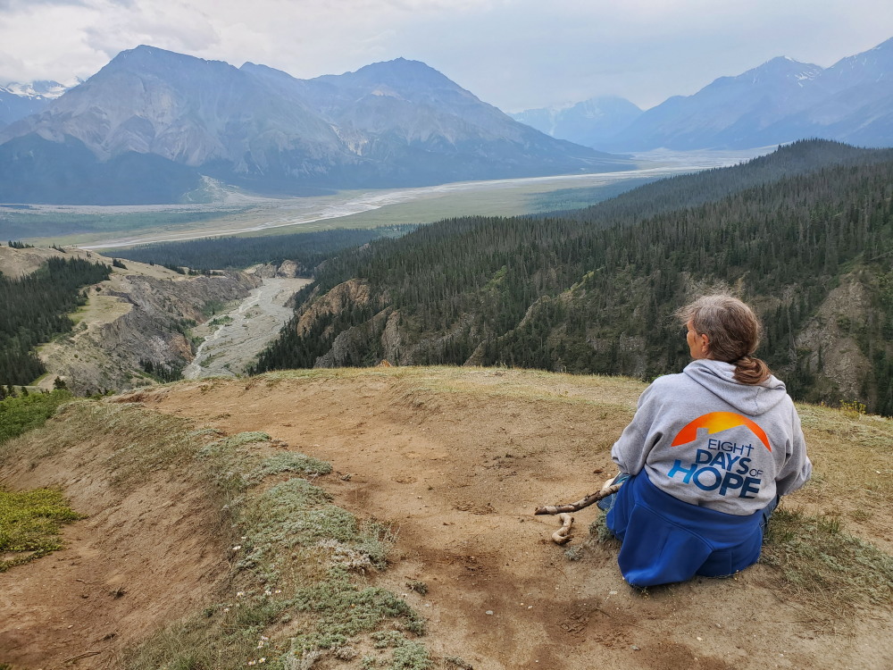
Hiked up from the bottom through the forest playing music on the phone so as not
to surprise a bear.
A family from Switzerland also tented inside the bear fence.
We slept good having the bear fence around us.
Day 12
Leaving in the morning we saw a pair of smaller grizzly bears eating flowers on the edge of the road. We didn't stop for a picture.
The road turned very bad at this point. Waves due to frost heaves, rough, gravel with dust and bad potholes. To complicate it there were lots of double-pup trucks hauling gold ore back to Fairbanks. It was better when we got to the US border.
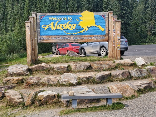
At the first visitors center in AK we learned of the Deadman Lake campground. It was no fee and had canoes, paddles and life jackets to use.
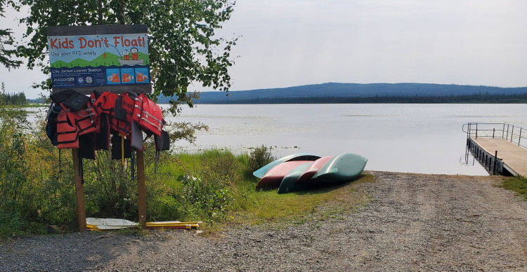
We stopped there for the day and paddled a canoe around the ENTIRE perimeter of the lake! It was quiet, peaceful and we nearly had the whole campground to ourselves. We had to provide our own water, but we knew that in advance. We carry extra water with us anyway since lots of campgrounds don't have water. Mosquitoes didn't bother (until in the morning). Light rain during the night. Smoke is much better or gone now.
Day 13
Got an early start since time zone change but without cell service our phones didn't switch yet. Stopped in Tok for fuel and a free museum. Roads are still bad for the most part but not many gravel sections. Some construction. Saw a porqupine cross the road ahead of us.
Arrived in Fairbanks about 1:30. 3,459 miles since home. Definitely not the shortest route which would be about 3,200.
Day 14
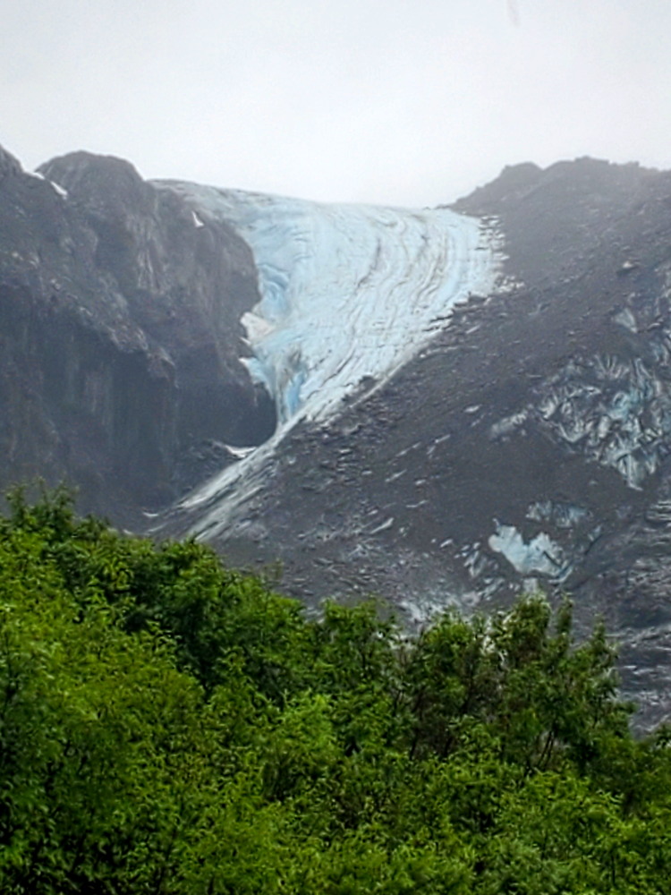
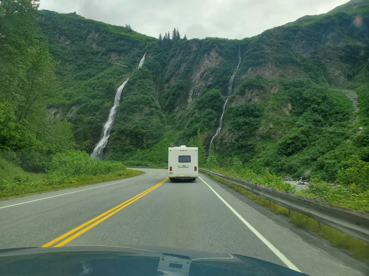
Our daughter's family has a motor home which we all took (a grandson also drove his car) from Fairbanks on a very scenic drive down to Valdez, AK. Weather was misty and rainy and got colder as we went south. Stopped several places including the Worthington Glacier.
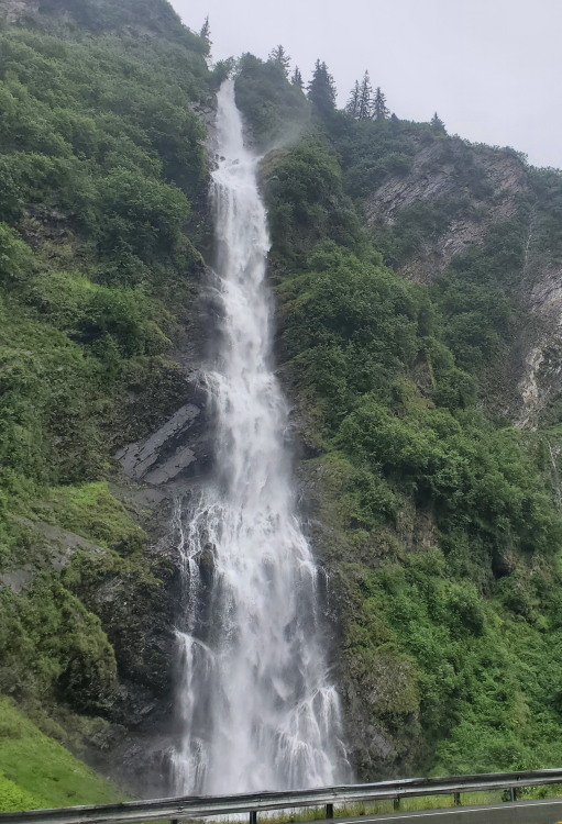
There were lots of Waterfalls along the road.
Stayed overnight at Valdez Glacier Campground.
Day 15
The weather was much improved. We drove into Valdez and spent time in a museum with lots of exhibits. Bush pilots, mining, native life, the Exon Valdez oil spill and the Great Earthquake of 1964. All very interesting. We walked on the port docks among the ocean boats used for commercial fishing. Lots of other kinds too. Valdez is a major port and there were thousands of boats. It is also where the pipeline from the north slope ends and the oil is loaded onto tankers. Remeber the Exon Valdez?
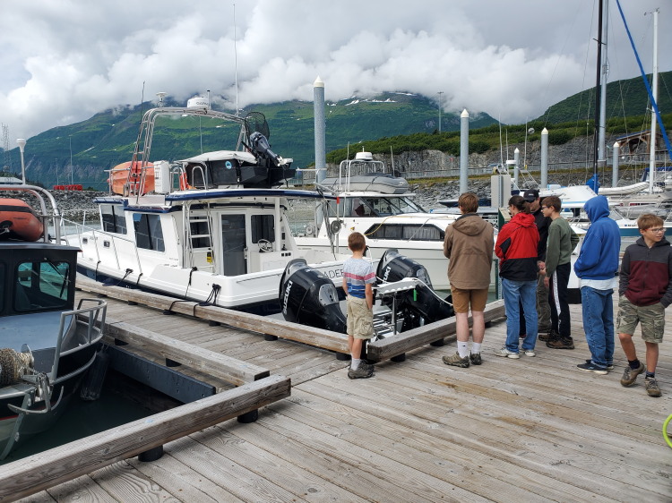
Then a picnic lunch in a park (from a Subway).
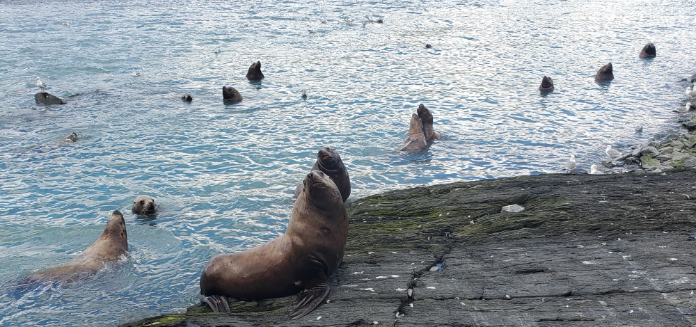
In the afternoon we drove to the other side of the bay and visited where there is a fish hatchery. They harvest eggs and release 200 to 300 million salmon each year. THOUSANDS (millions?) of salmon were trying to get back to their birthplace and were being feasted on by the sea lions there that had easy pickings.
Day 16
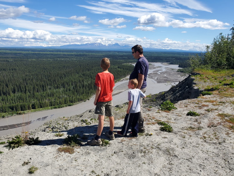
The drive back to Fairbanks. With the beautiful weather the views were fantastic. The Richardson Highway between Glenallen and Valdez is awesome for the scenery.
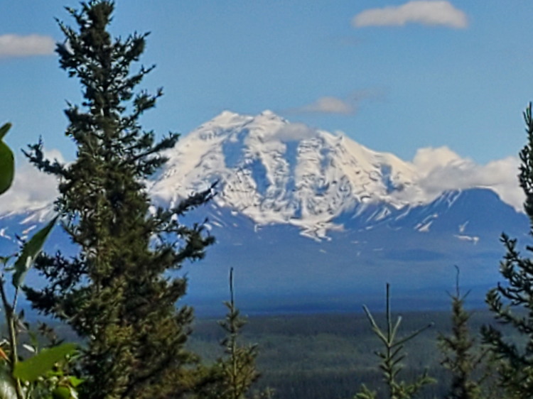
Mount Drum in
the Wrangle Mountain range
Then back to Fairbanks for a few day of NOT traveling before our return trip.